Modern investigations demand more than single source intelligence. When law enforcement agencies track organized crime networks, corporate security teams assess physical threats, or government analysts map terrorist infrastructure, they may draw on commercial satellite imagery, open mapping platforms, mobile location data, social media, aircraft broadcasts, public sensors, and other sources. Geography provides a common layer that helps connect these fragmented signals into a broader intelligence picture.
Yet many investigators still operate with an outdated or inconsistent understanding of geospatial intelligence. GEOINT is often associated primarily with satellite imagery, specialized government capabilities, expensive technology, or coordinates on a map. In practice, modern GEOINT is increasingly a fusion-centered discipline in which geography helps analysts connect people, places, infrastructure, movement, and activity across multiple sources.
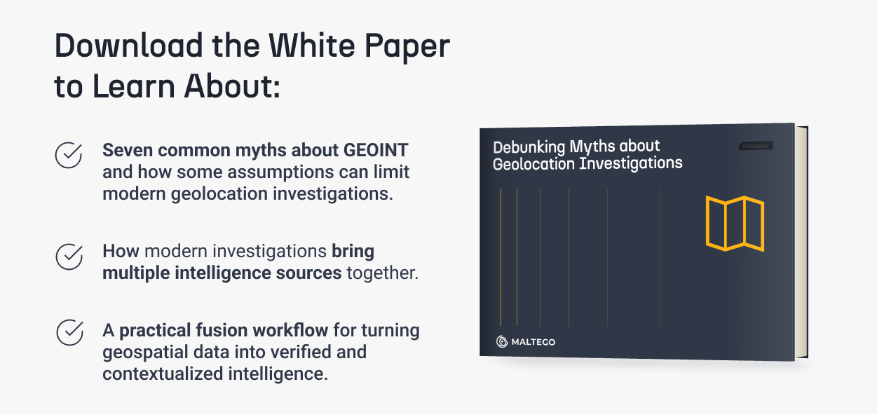
In our whitepaper, Debunking Myths About Geolocation Investigations, written by Mark Hargrave, we address seven common myths about GEOINT and explore how practitioners can move beyond these misconceptions to use geospatial information more effectively and responsibly. You can access the resource below.
Why This Matter Now 🔗︎
GEOINT has evolved beyond its traditional association with government satellite systems into a multi-source intelligence capability that can support investigations across sectors. At the same time, the growth of publicly and commercially available geospatial information has introduced new opportunities as well as new analytical challenges.
Access to more data does not automatically produce better intelligence. Imagery, coordinates, movement records, social media posts, and other location related information remain evidence that must be verified, contextualized, and corroborated. The analytical value comes from understanding how these pieces connect and why the geography matters to the intelligence requirement.
Understanding what GEOINT is, and what it is not, can help practitioners move from fragmented data collection toward defensible intelligence assessments. It also helps investigators determine where investigative platforms and AI can accelerate analysis while retaining the source traceability, legal considerations, verification, and human judgment required to support reliable conclusions.
Download the full white paper to explore seven common myths about modern GEOINT, understand why fusion and verification matter as much as collection, and learn how investigators can apply these principles through a practical fusion workflow.
Happy Investigating!